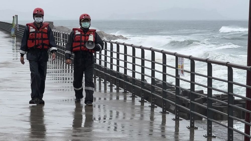
The typhoon that damaged homes and knocked out power on Okinawa and other Japanese islands this week was slowly moving west Thursday but is forecast to make a U-turn and dump even more rain on the archipelago.
Typhoon Khanun, now in the waters between China and Japan’s southwestern islands, is expected to slow to nearly stationary movement before a weakening high-pressure system nearby allows it to turn east Friday, the Japan Meteorological Agency said.
That forecast would spare China, where rain from an earlier typhoon caused deadly flooding and damage this week around the capital, Beijing.
Khanun, which means jackfruit in Thai, had sustained surface winds of 162 kph with higher gusts Thursday morning.
Up to 20 centimetres of rainfall were expected in the Okinawa region by midday Friday, JMA said.


